The RAVG program, managed by the Geospatial Technology and Applications Center (GTAC, part of the USDA Forest Service Geospatial Office), provides a rapid initial assessment of post-fire vegetation condition following large wildfires on National Forests. This website provides general information about RAVG, direct access to Forest Service RAVG data for individual fires and data summaries based on user-defined queries, and links to related data, including annual data mosaics. RAVG data for select fires on Department of the Interior (DOI) lands are produced by the USGS Earth Resources Observation and Sciences (EROS) Center and are available from the Burn Severity Portal's Interactive Viewer (https://burnseverity.cr.usgs.gov/viewer/?product=RAVG).
Note to users (27 Jan 2025): The topographic slope shown in RAVG summary tables is provided in percent rise. It was incorrectly noted as being in degrees in some 2024 data. Affected data bundles should reflect the correction now.

Background, products & applications
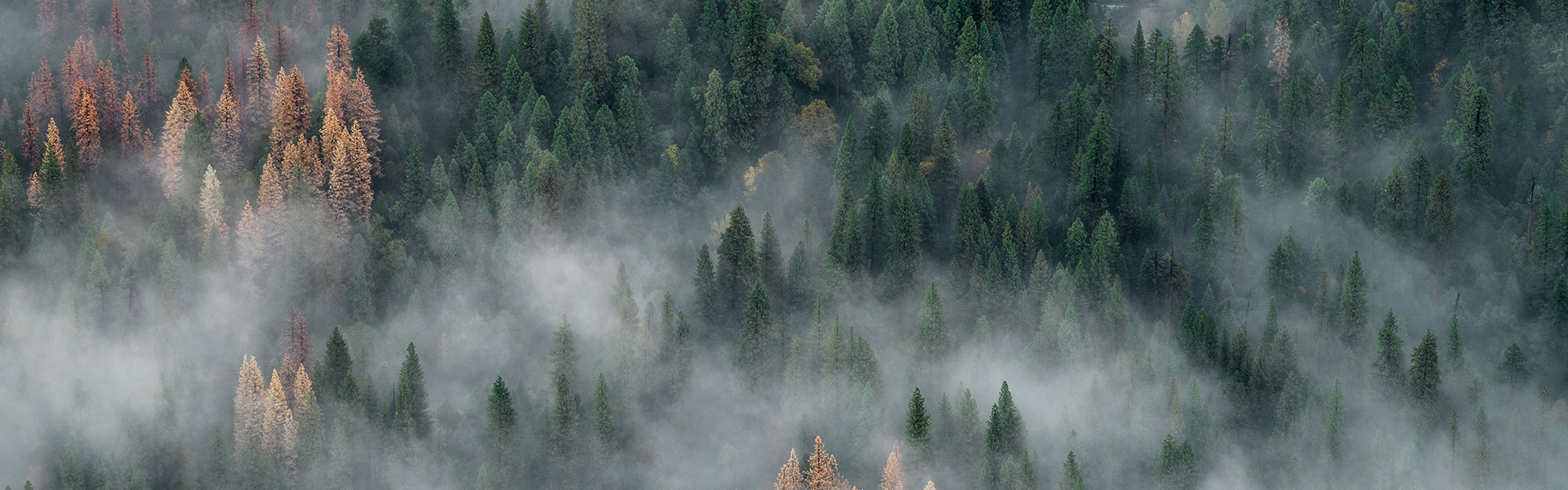
The RAVG program provides assessments of vegetation conditions (burn severity) following large wildland fires on forested National Forest System (NFS) lands....
Data Access
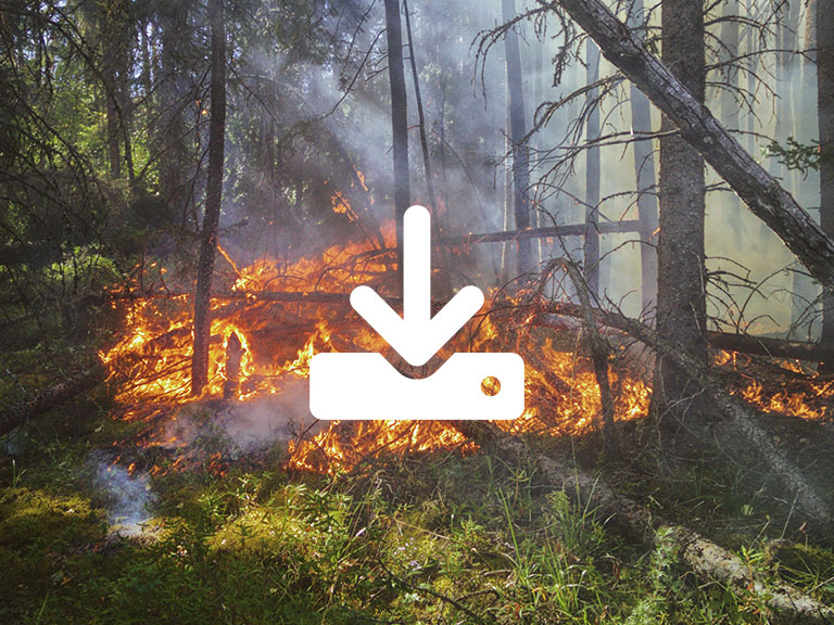
This tool allows you to select, view and download RAVG data for individual fires or to view summary graphs and tables for multiple fires....
Mapping Status
Status of fires that have been identified for mapping under the RAVG program. Fires are typically mapped within 45 days after containment. Use the Contact Us pa...