The website will be offline from Wednesday the 22nd of July 2026 at 8:00 AM to Wednesday the 22nd of July 2026 at 12:00 PM. We apologize for any inconvenience this may cause.
MTBS
Monitoring Trends in Burn Severity
MTBS consistently maps the location, extent and severity of all large fires occurring in the United States from 1984 to present. Temporally and spatially compre...
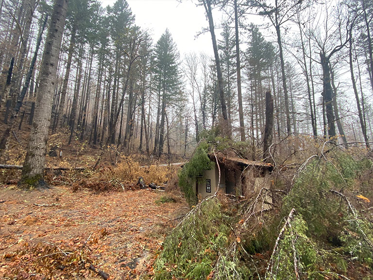
BAER
Burned Area Emergency Response
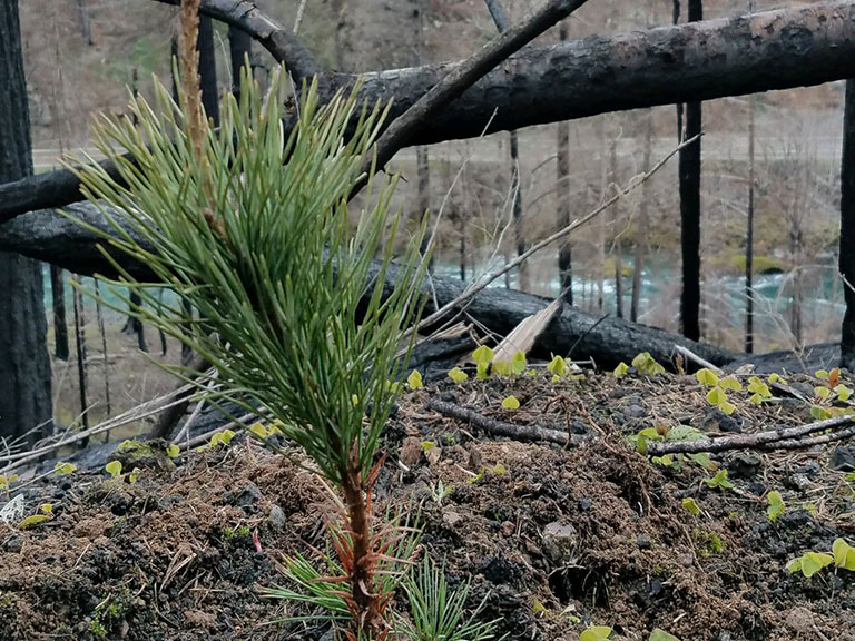
BAER teams rapidly assess the effects of fire on vegetation, soils and watershed function and develop a plan with actions to stabilize the fire affected landsca...
RAVG
Rapid Assessment of Vegetation Condition After Wildfire
The Rapid Assessment of Vegetation Condition after Wildfire (RAVG) program produces data estimating post-fire vegetation conditions on National Forest System (N...
NPS
National Park Service
When requested by an NPS unit, or interagency partner program, USGS EROS has mapped wildland fires that are smaller than those mapped by the Monitoring Trends i...
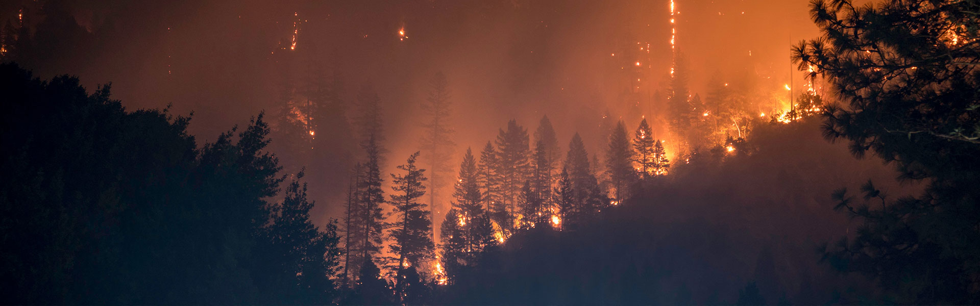
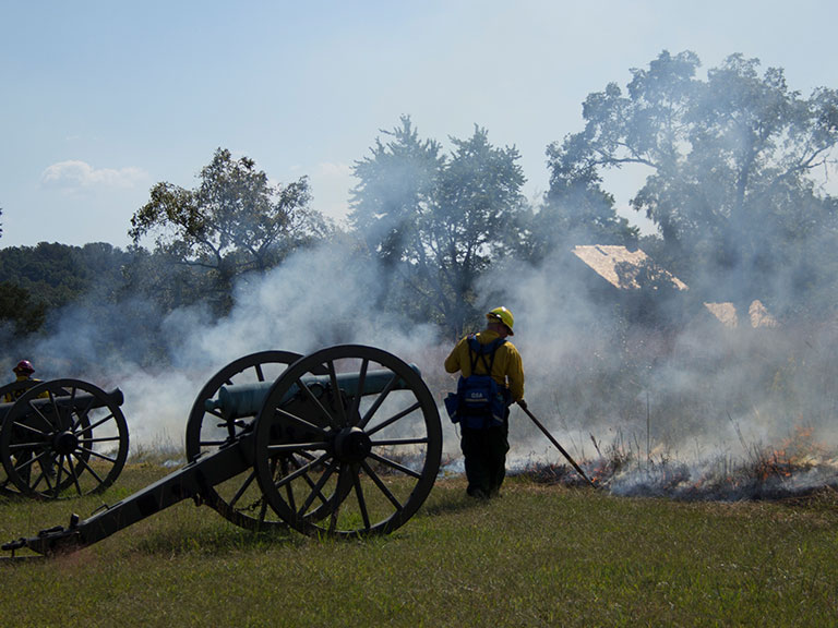
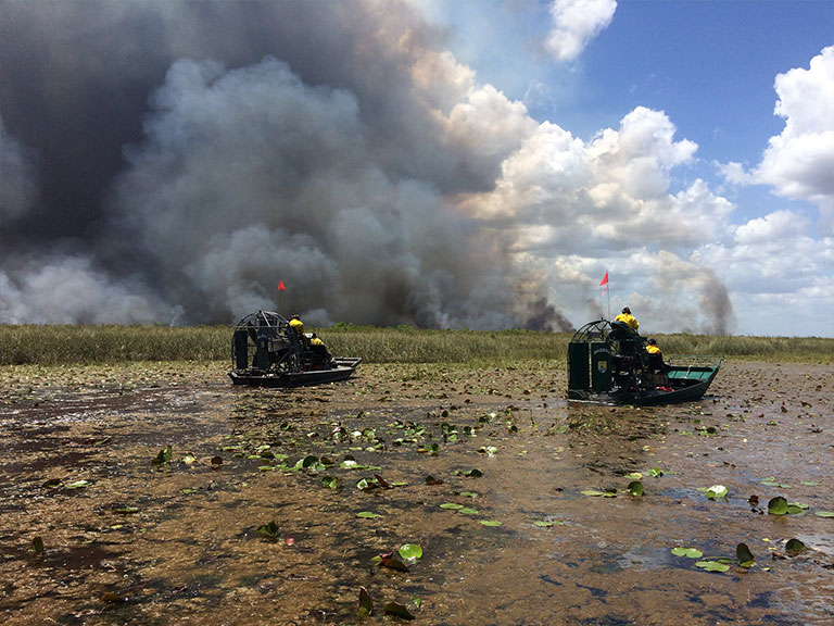
Prairie Fires
Flint Hills
The Flint Hills are one of the most fire prone ecosystems in the United States. Annually, prescribed fires and wildfires can burn hundreds of thousands of acres...
UFMP
Undersized Fire Mapping Project
Undersized Fire Mapping Project (UFMP) consistently maps the location, extent and severity of selected small fires occurring in the United States from 1984 to p...
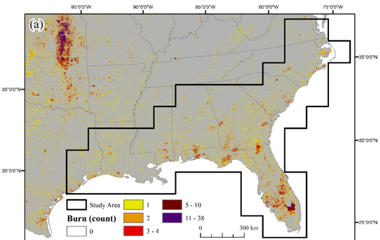
Southeastern FireMap
Southeastern FireMap Annual Burn Severity Mosaics
The southeastern United States experiences frequent wild and prescribed fire activity. Mapped burn severity products in the southeastern U.S. face challenges ac...
FWS
U.S.Fish & Wildlife Services
Atlases of fire perimeters were created for fires occurring on U.S. National Wildlife Refuges from 1984 through 2013. Fire Atlas perimeter data provide informat...
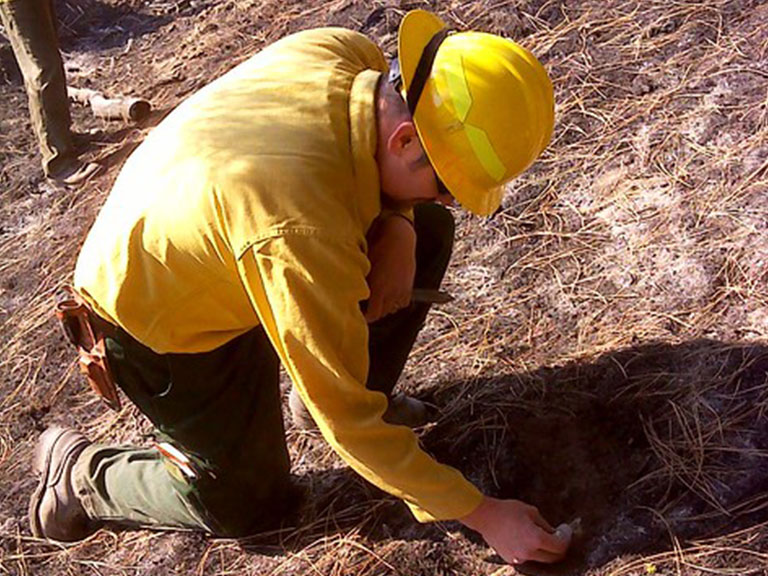
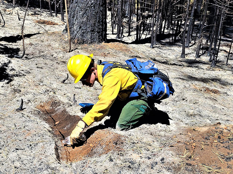
CBI
Composite Burn Index
The Composite Burn Index was developed by Key and Benson (2006) to assess the on the ground fire effects on vegetation and soil (i.e. burn severity). CBI plots ...
Provisional IA
Provisional Initial Assessments
These products were produced using the methods of the Monitoring Trends in Burn Severity Program (MTBS), however this fire may not meet the criteria for an MTBS...