Highlight Image

Link Text
Download Burn Severity Products
Link to Page

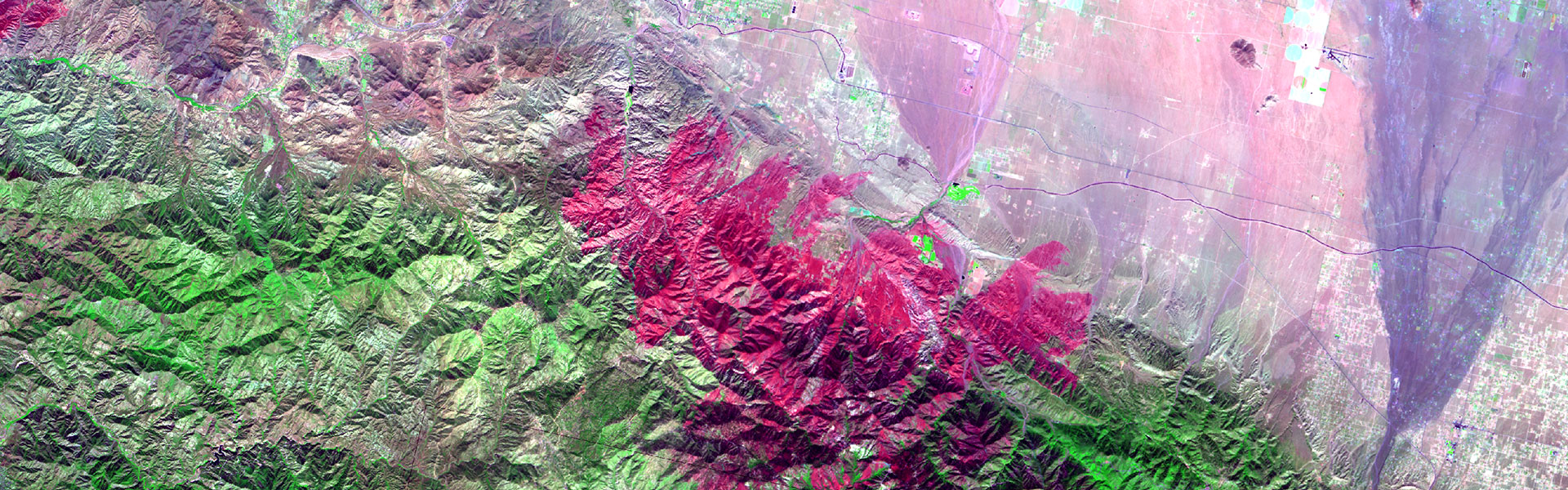
Within 7 days of fire containment, the BAER Imagery Support Program provides satellite images, burn area severity classifications, and other critical data to BAER teams. One of the team's first tasks in the field is to create a soil burn severity map using BARC data provided by the BAER Imagery Support Program.