FWS
U.S. Fish & Wildlife Service
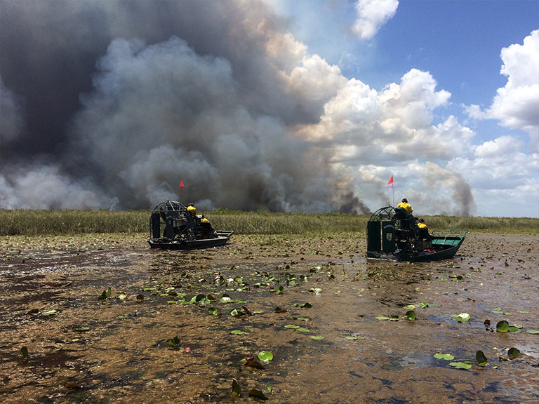
At the request of FWS, our interagency partner program, USGS EROS has mapped wildland fires that are smaller than those mapped by the MTBS; MTBS maps fires 1,000 acres or greater in the western United states and 500 acres or greater in the eastern United States. These mapped smaller fires have occurred on FWS lands and are available through this Burn Severity Portal.
There were two specific fire extent mapping products created to meet the needs of the USFWS managers. Burned area boundaries maps, called FWS Fire Atlases were created for fires occurring on FWS refuge lands from 1984 through 2013. Burned area boundaries and severity information, called FWS Wetland Fires, mapped the location, extent, and severity of smaller fires occurring on selected FWS Refuges from 1984 through 2010. Both products were created to provide information to land and refuge managers as they develop resource management plans.
1. FWS Fire Atlases for CONUS and Puerto Rico
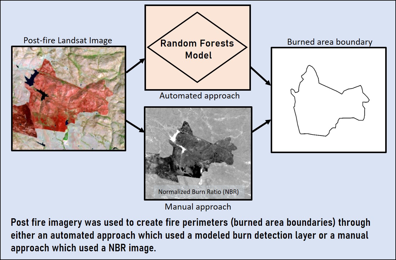
To create these maps, information was provided by FWS including fire name, discovery date, location coordinates, type of fire (planned or unplanned), and an estimated burn area. These attributes were used to identify approximate location of each fire. Satellite imagery acquired as close to the fire occurrence as possible was then used to detect and delineate the burn extent. In some areas, machine learning models were used to generate probability maps of burned areas and initial burned area boundaries which were reviewed and adjusted by analysts. In other areas, analysts delineated the burned area boundaries through direct interpretation of the imagery products. High-resolution imagery and refuge maps were also used to link the provided point reference data to the individual burns. The completed burned area boundaries maps were aggregated for each refuge into a complete atlas or fire history.
All requested Fire Atlases have been completed, 8,516 fires in total were mapped within 93 FWS units across the US.
2. FWS Wetland Fires
For selected FWS units, fires smaller than the MTBS threshold size were requested to be mapped to support a variety of policy and resource management information needs. Following MTBS protocols, pre- and post-fire imagery were selected to match the assessment approach based upon landscape/vegetation type. Please review the Mapping Methods | MTBS page for details on this mapping approach.
3. FWS Alaska Fire Atlas
This data package includes 481 geospatial vector polygons of historic fire perimeters associated with National Wildlife Refuges in Alaska. These polygons, originally held within the Alaska Large Fire Database (ALFD), were reviewed and found to have geospatial inaccuracies with respect to the fire that they represent. They were corrected and updated based on a variety of remote sensing resources; the Monitoring Trends in Burn Severity (MTBS) database (https://www.mtbs.gov/viewer/index.html), geospatial rasters of historic fire activity derived from Landsat 1-9 imagery in the Google Earth Engine(https://earthengine.google.com) environment, and historical air photos acquired through EarthExplorer (https://earthexplorer.usgs.gov/). Wildfire records occurring within Alaska Wildlife Refuge units and considered for necessary updates, spanned the 1943-2022 time-period and comprised 1,229 recorded fires. After reviewing all fire records, 400 fire perimeters were updated and 81 previously unrecorded fires were added to the database. These updated records spanned 1951-2021.
Timeline
Burned area boundaries are captured as quickly as possible after fire containment is visible in the imagery.
Data Access
Audience
These products support US FWS land managers in planning activities for their units.
Mapping Method
Landsat reflectance, Normalized Burn Ratio, and Normalized Differenced Vegetation Index imagery are used to locate fire scars. burned area boundaries are then digitized from the imagery for each fire and all products for each refuge are bundled into a complete fire atlas.
Deliverables
- Pre , Post, and 1-year post-fire satellite imagery
- Burn area boundary shapefile
- Post-fire Normalized Burn Ratio
- Modeled thematic burned/not-burned product (not available for all atlases)