BAER
Burned Area Emergency Response
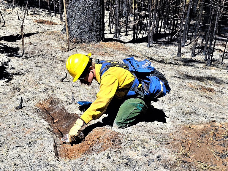
BAER teams rapidly assess the effects of fire on vegetation, soils and watershed function and develop a plan with actions to stabilize the fire affected landscape and mitigate post-fire hazards. The BAER Imagery Support program tracks fire progression, satellite overpasses/acquisition schedules and generates BARC products for requesting incidents. The BARC provides a preliminary estimate of burn severity used by SBS teams to assess post-fire conditions, develop a BAER product and create a BAER emergency response plan with prescribed treatments for implementation. BARC data products may or may not be publicly available. Generally, the SBS data is preferred to share publicly since it has been validated by the BAER team in the field. In older data or in cases where the SBS was not available, BARC products may be distributed in place of or alongside the SBS. BAER Teams: use this link to upload incident SBS data.
Timeline
1 - 7 days after fire containment
Learn More
Data Access
Data Available
2001-2026

