The website will be offline from Wednesday the 22nd of July 2026 at 8:00 AM to Wednesday the 22nd of July 2026 at 12:00 PM. We apologize for any inconvenience this may cause.
Compare Products
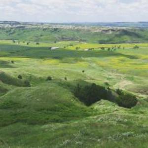
Low Biomass Ecosystem
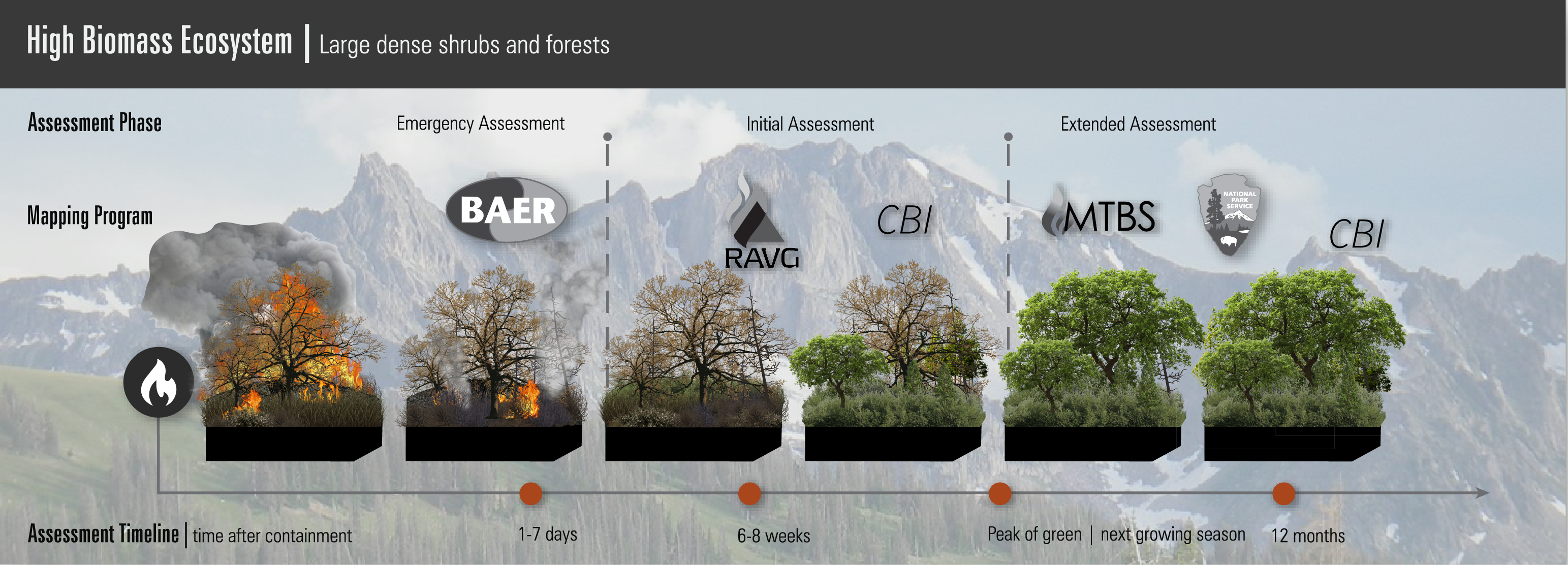
The various post-fire data products available on the Burn Severity Portal are produced using satellite imagery. The timing of the satellite imagery used, relative to the fire event, typically depends on the vegetation type and structure where the fire occurred. Below is an illustration of that relationship for each mapping program. Each mapping program produces a suite of data products based on user intended user needs. You can find additional definitions of some of the terms used within the graphic below it.
For more information about each of the programs, please click on the logos below:


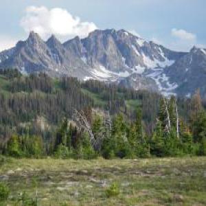
High Biomass Ecosystem
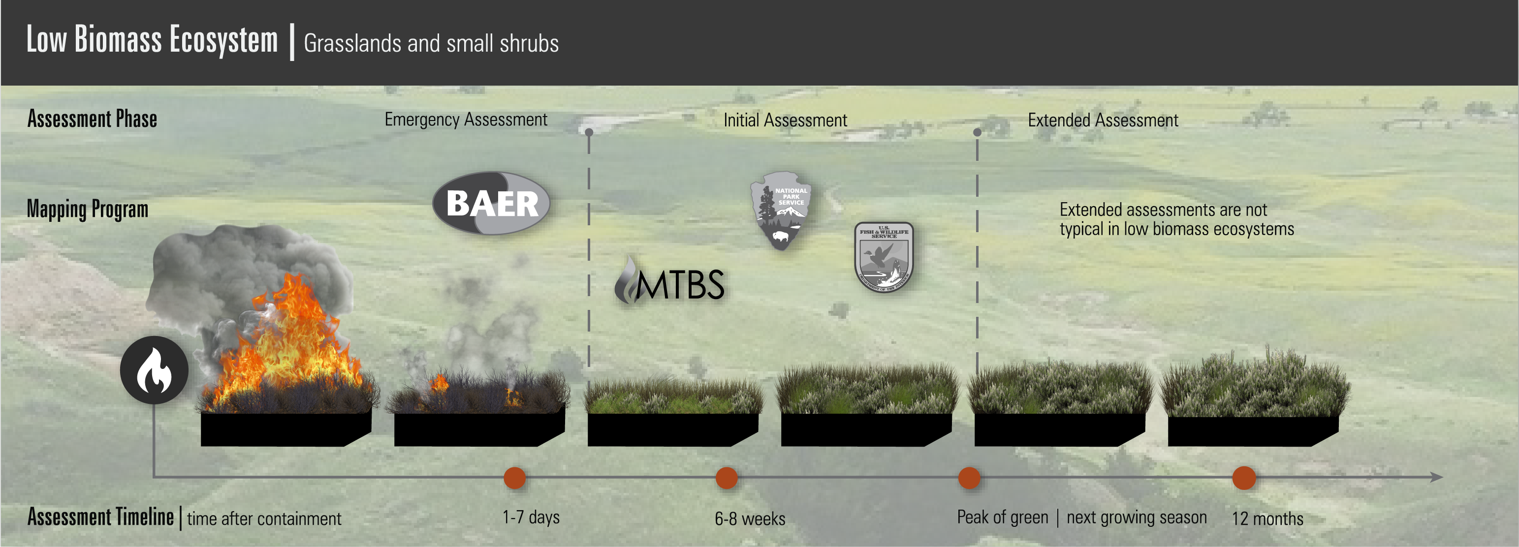
Low Biomass Ecosystem – Ecosystem that typically consists of less dense shrubs and grasslands.
High Biomass Ecosystem – Ecosystem that typically consists of dense shrubs and forests.
Emergency Assessment – Fire mapping assessments that rely on satellite data acquired before or just at fire containment in order to capture effects of soil disturbance.
Initial Assessment – Fire mapping assessments that rely on satellite data typically acquired at the first opportunity after fire to capitalize on the maximum post-fire data signal and is used primarily in ecosystems that exhibit rapid post-fire vegetation response (i.e. herbaceous and particular shrubland systems).
Extended Assessment – Fire mapping assessments that rely on satellite data typically acquired during the growing season following a fire in order to include delayed first order effects (e.g., latent tree mortality) and dominant second order effects that are ecologically significant (e.g., initial site response and early secondary effects).
For more information about each of the programs shown above, please click on the links below:
- Burned Area Emergency Response (BAER)
- Fish and Wildlife Service (FWS)
- Rapid Assessment of Vegetation Condition after Wildfire (RAVG)
- Composite Burn Index (CBI)
- National Park Service (NPS)
- Monitoring Trends in Burn Severity (MTBS)
- Prairie Fires | Burn Severity Portal (usgs.gov)
- Provisional Initial Assessments (PIA) | Burn Severity Portal (usgs.gov)
- Undersized Fire Mapping Project (UFMP) | Burn Severity Portal (usgs.gov)
- Southeastern FireMap Annual Burn Severity Mosaics | Burn Severity Portal (usgs.gov)