RAVG
Rapid Assessment of Vegetation Condition After Wildfire
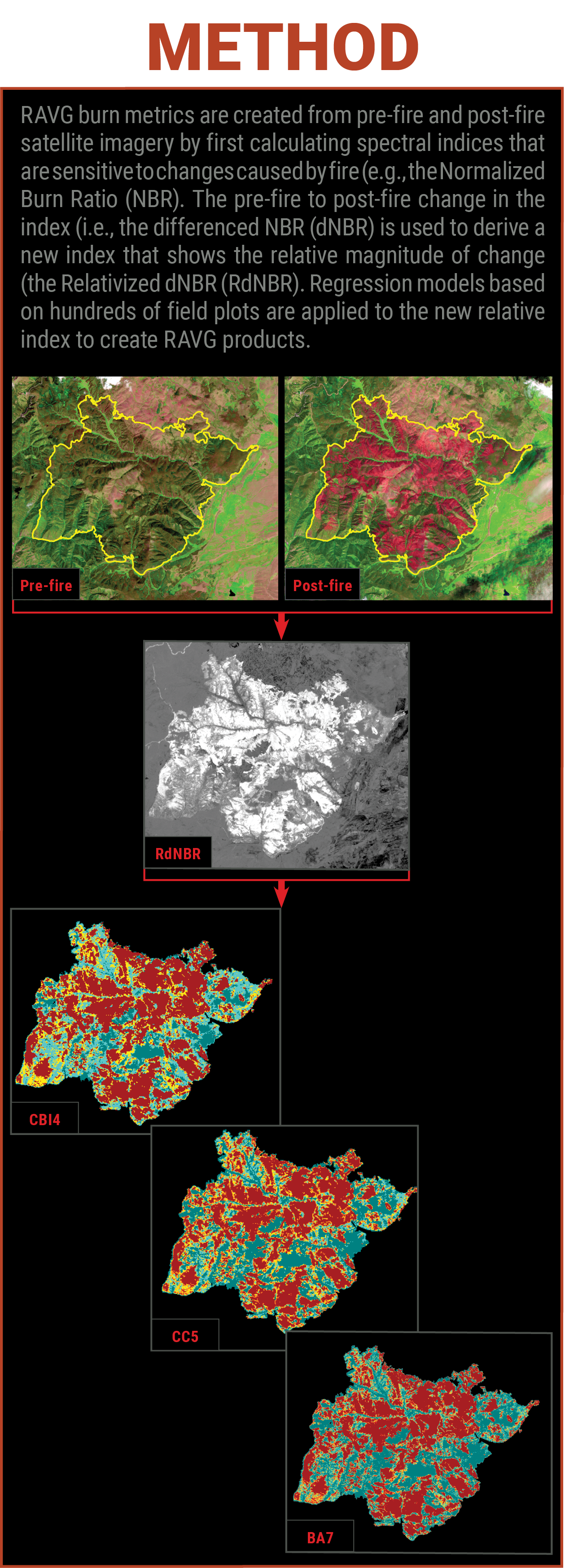
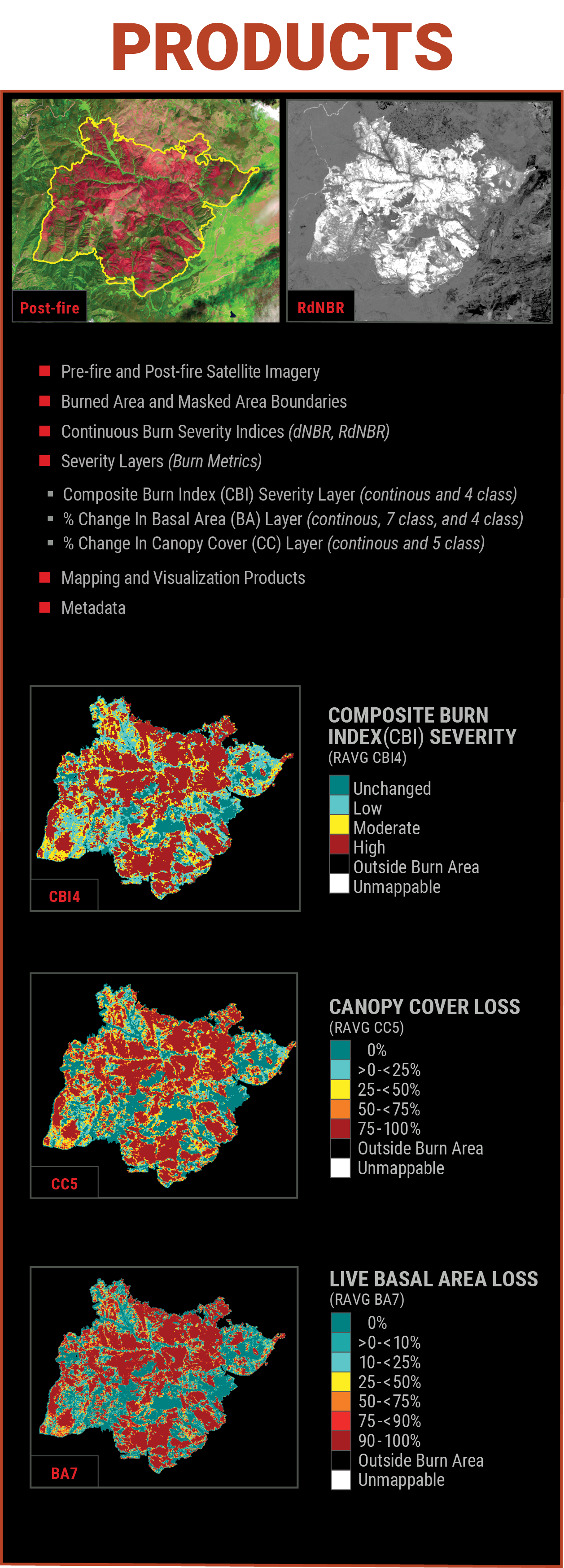
The USDA Forest Service RAVG program produces data estimating post-fire vegetation conditions on National Forest System (NFS) lands, including CBI, percent basal area loss and percent canopy cover loss. These data products support a data-driven process to inform prioritization and funding decisions for post-fire reforestation efforts. The USGS conducts similar assessments for fires on forested DOI lands.
Timeline
30 – 45 days after fire containment for most fires (exceptions due to seasonal effects are common)
Learn More
Data Access
- Direct Download (FS RAVG data, including data summaries and links to national datasets)
- Interactive Viewer* (DOI and FS data for recent years)
- Request for RAVG data on DOI fires (DOI use only)
*May only contain a subset of the data
Data Available
2007-2026
Audience
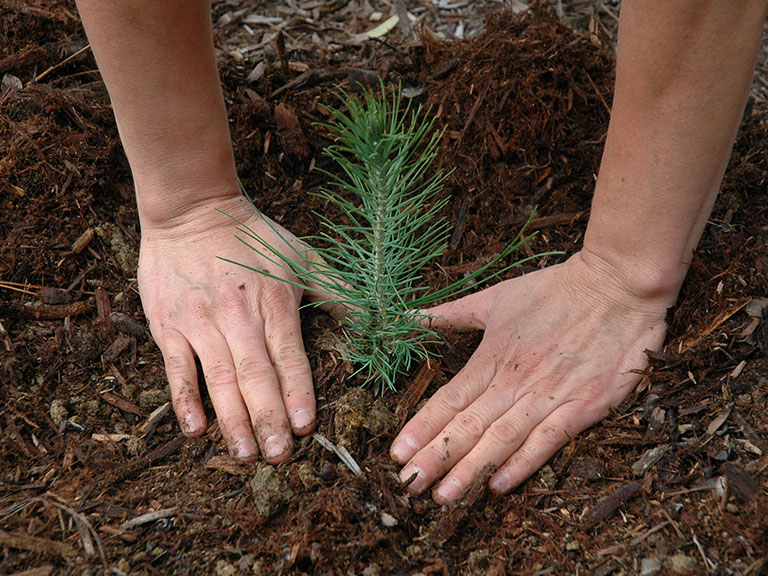
The primary audience for RAVG data and products is the silviculture community, which needs to communicate yearly reforestation and restoration needs in support of funding requests. Other applications include post-fire habitat assessments and salvage planning.